orientačný bod,
Gemeinde Petronell-Carnuntum
orientačný bod,
Gemeinde Petronell-Carnuntum
orientačný bod,
Gemeinde Petronell-Carnuntum
orientačný bod,
Gemeinde Petronell-Carnuntum
orientačný bod,
Gemeinde Petronell-Carnuntum
orientačný bod,
Gemeinde Petronell-Carnuntum
orientačný bod,
Gemeinde Petronell-Carnuntum
orientačný bod,
Gemeinde Petronell-Carnuntum
orientačný bod,
Gemeinde Petronell-Carnuntum
orientačný bod,
Gemeinde Petronell-Carnuntum
orientačný bod,
Gemeinde Petronell-Carnuntum
orientačný bod,
Gemeinde Petronell-Carnuntum
orientačný bod,
Gemeinde Petronell-Carnuntum
orientačný bod,
Engelhartstetten
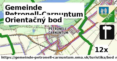
Hľadáme bod, OSM tagy: tourism = 'information' and information = 'guidepost'.
Zdroj dát
Mapové údaje pochádzajú z
www.OpenStreetMap.org, databáza je prístupná pod licenciou
ODbL.

Mapový podklad vytvára a aktualizuje
Freemap Slovakia (www.freemap.sk), šíriteľný pod licenciou CC-BY-SA. Fotky sme čerpali z galérie portálu freemap.sk, autori fotiek sú uvedení pri jednotlivých fotkách a sú šíriteľné pod licenciou CC a z wikipédie. Výškový profil trás čerpáme z
SRTM. Niečo vám chýba?
Pridajte to. Sme radi, že tvoríte slobodnú wiki mapu sveta.